|
Getting your Trinity Audio player ready...
|
Following Cyclone Idai that hit eastern Zimbabwe in March of 2019, the United Nations Educational, Scientific and Cultural Organization Regional Office for Southern Africa (UNESCO ROSA), under the World Bank Funded Zimbabwe Idai Recovery Project (ZIRP), is implementing the project ‘Comprehensive Resilience Building in the Chimanimani and Chipinge Districts.’
The overall objective of the project is to reduce the vulnerability of communities in the Chimanimani and Chipinge Districts to natural disasters, such as floods, droughts, and landslides; and to enhance water resource management as well as ecosystem services in response to the uncertainty of future climate change.
According to recent research studies carried out in the Chimanimani District, there are a number of indicators of climate change, such as a clearly declining rainfall, late onset of seasons, increasing mid-season dry spells, extreme temperatures, and decreasing crop yields. A clear need has, therefore, been identified to reduce weather-related hazards using a climate change adaptation framework.
Landslides Disaster Risk Reduction is one of the crucial focus areas of the resilience-building project. According to the report from International Organization for Migration, the Chimanimani region is one of the most flood-prone areas in southern Africa. Floods over slopes are connected to soil erosion and thus landslides, most prevalent in mountainous areas. The Cyclone Idai disaster uncovered that the area is susceptible to devastating landslides, hence the need to develop landslides susceptible and risk maps which could be useful in land use planning as well as to direct land and ecosystem restoration and slope protection works.
In this context, UNESCO, in partnership with the University of Zimbabwe and the Catholic University of Leuven, will be visiting the cyclone Idai hit districts of Chimanimani and Chipinge to conduct a more in-depth local assessment of the pre-identified hotspots. This comes after the Catholic University of Leuven has already mapped out about 20,000 active landslides in the two districts (mainly connected to the cyclone Idai event) using remote sensing data. The field assessment includes a general assessment from 5 to 13 July and further field research measurements until the end of July 2021
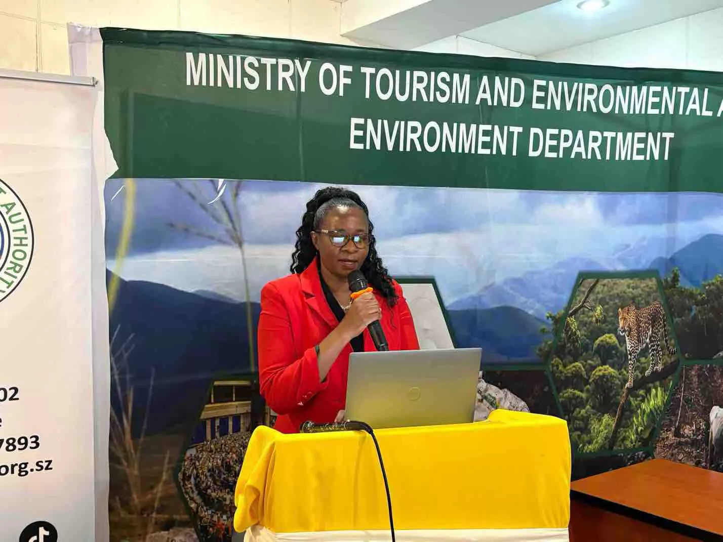
Speaking during a virtual Media Briefing on Landslides: Comprehensive Resilience Building in Chimanimani and Chipinge Districts held on Monday, Prof. Martiale Zebaze Kana, Programme Specialist, UNESCO Regional Office for Southern Africa (as a representative of Prof Hubert Gijzen, Regional Director and Representative, UNESCO ROSA) revealed that UNESCO assists countries to build their capacities in managing disaster and climate risk.
“It supports their efforts in preventing, mitigating the effect of and coping with disasters and it is against this background that UNESCO is carrying out the landslides assessments in Zimbabwe, and in Chimanimani and Chipinge in particular. UNESCO has a special responsibility in this area – along with the International Consortium on Landslides (ICL), which was established with the help of UNESCO.
“The Kyoto-based ICL is an international scientific organization promoting landslide research and capacity building, and integrating landslide sciences and technology within the appropriate cultural and social contexts. It also coordinates international expertise in landslide risk assessment and mitigation studies and promotes a global, multidisciplinary programme on landslides,” Prof. Kana said.
One of UNESCO’s long-term objectives is to help the Member States develop landslide monitoring networks. Through this project, UNESCO has therefore engaged local and international experts to develop landslide susceptibility maps that indicate landslides hazards in the two districts as a first step. The initiative also allows stakeholders to understand the drivers of these destructive events and to identify a pathway for mitigation of their impacts. Additionally, a better understanding of their origin will provide information that can lead to the development of a landslide early warning system for the area.
Speaking during the same virtual media briefing, Nicholas Callender, a Disaster Risk Management Specialist and Task Team Leader of Zimbabwe Idai Recovery Project at the World Bank Zimbabwe office said the Zimbabwe Idai Recovery Project, which was funded to the tune of $72 million by the World Bank, is proving to be a successful model for resilience building and addressing the priority areas.
“ZIRP has brought together 8 specialist UN agencies under one project leveraging on their comparative advantage. This is the first time that UN agencies have worked together under one grant in this manner. Secondly, ZIRP has been able to transverse the humanitarian-development nexus through a surge of high-impact, immediate interventions for enhancing the coping capacity of affected communities, a transition towards medium-term recoveries, such as the restoration of community productive capacities and rehabilitation of critical community infrastructure, across multiple sectors; and, now interventions to reduce community hazard risk vulnerability through community-level structural and non-structural rehabilitation development,” Callender said.
He added that it is, therefore, imperative that comprehensive resilience-building be implemented to reduce the vulnerability of these communities. As a result, landslide mapping is a primary step for planning and preparation for future landslides.
“This proactive approach to disaster risk management will inform land-use planning and feed into the selection of sites for resilience building. It strengthens the capacity of the relevant stakeholders to mitigate the effects of future shocks. We hope that with such support, Zimbabwe will not witness the magnitude of destruction and loss of lives that we did in March 2019. UNESCO has honed its skills and expertise applying the climate in nature conservation applying the Climate Risk Informed Decision Analysis (CRIDA) framework across the globe and we are happy to have them onboard the ZIRP project to strengthen resilience in the target communities,” Callender added.


